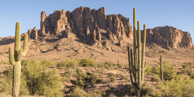
9 Hidden Little Known Hikes in Phoenix (And What I Think of the Most Popular One)
9 Hidden Little Known Hikes in Phoenix (And What I Think of the Most Popular One)
Tap into your sense of adventure when you traverse these stunning hikes in Phoenix that are off the beaten path.

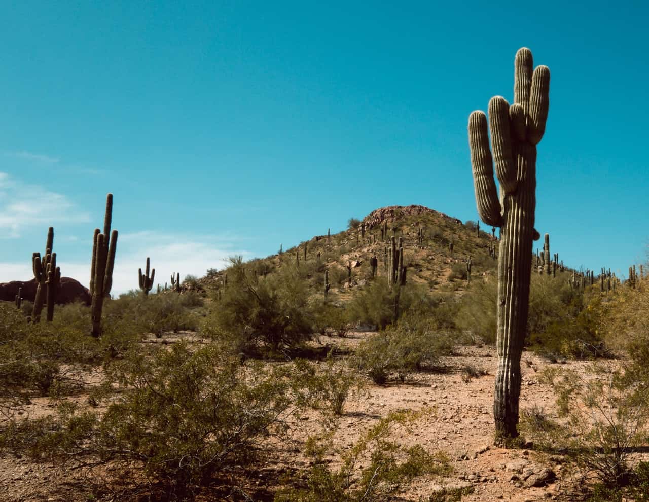
In Phoenix, there are more than 230 hikes around town. There’s actually 239 to be exact! With so many trails to choose from, how does one pick? It’s enough to make a brain freak out with overwhelment. Luckily, I’ve narrowed it down for you. From 239 trails down to my top nine favorite little-known hikes in Phoenix.
I don’t know about you, but when I travel somewhere new, I like to go places that no other tourist knows about. Coffee shops that only locals know about, local attractions that aren’t listed in the guidebooks, and of course, hikes out in nature that aren’t overcrowded with people. These 9 Phoenix hikes are hidden gems— even to some of the locals! Plus, as a bonus at the end, I’ve included the most popular hike in Phoenix, just so you can see what all the fuss is about!

Little Known Hikes in Central Phoenix
Shadow Mountain Trail
Distance: 2.6 miles | Difficulty: Moderate | Elevation Gain: 426 ft | Trail Type: Loop | Dog Friendly: Yes
Shadow Mountain Trail is a quick hike with a great view of Central Phoenix. Estimated to take about an hour and ten minutes to complete, the trail loops around the entirety of Shadow Mountain and intertwines with other trails on the hill. This is a great hike to start your day off in the morning since it is so quick. It’s also a great spot for bird watching or to connect with the desert flora without having to leave the city. Because the trail does connect with other trails on the mountain, it’s a good idea to have a map loaded on your phone, just in case you need it!
Lookout Mountain Circumference Trail
Distance: 2.2 miles | Difficulty: Moderate | Elevation Gain: 275 ft | Trail Type: Loop | Dog Friendly: Yes
Lookout Mountain is one of the many small mountains that dot the Phoenix Valley. Because of its central location in town, this hike is easy to get to and is another great hike to do either in the morning before you start your day or in the afternoon before you end it. From this hike you can see views of the surrounding neighborhoods as well as connect with a little pocket of nature, right in town. In the evening, this hike is a magnificent place to see the sunset light up the wide, Arizona sky. This trail also holds a special place in my heart because it’s where my husband and I first said “I love you” to each other many years ago on a spontaneous hike we took at the beginning of our relationship.
Dreamy Draw Nature Trail
Distance: 2.7 miles | Difficulty: Moderate | Elevation Gain: 700 feet | Trail Type: Loop | Dog Friendly: Yes
Dreamy Draw is an area in the Phoenix Mountains Preserves that gets its name from when it used to be a mining area back in the day. Minors would often leave the site in a “dreamy” state due to the effects of the mercury that they were digging up. Nowadays, you don’t have to worry about that though! The mining site has since been cleared out and the area is now a beautiful nature preserve. This trail is a loop, but several other trails sprout out from the recreational area where the trail begins. It’s well marked, so feel free to follow the loop or explore the other trails in the area!

Little Known Hikes in North Phoenix
Deem Hills Circumference Trail
Distance: 5.6 miles | Difficulty: Moderate | Elevation Gain: 784 feet | Trail Type: Loop | Dog Friendly: Yes
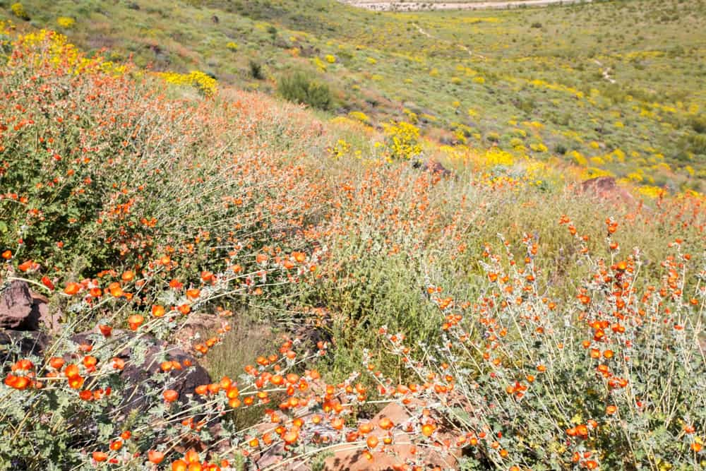
A lovely trail in the heart of North Phoenix, Deem Hills Circumference Trail circles the Deem Hills Recreation Area. While hiking, you can take in views of Northern Phoenix, the Central Arizona Project canal, and the Mcdowell Mountains to the east in Scottsdale. The trail is also lined with beautiful wildflowers and desert flora. If you’re lucky, you might even catch a glimpse of a coyote or a rattlesnake, but be careful if you do!
Little Known Hikes in South Phoenix
Kiwanis Trail to Telegraph Pass
Distance: 2.7 miles | Difficulty: Moderate | Elevation Gain: 577 feet | Trail Type: Out and back | Dog Friendly: Yes
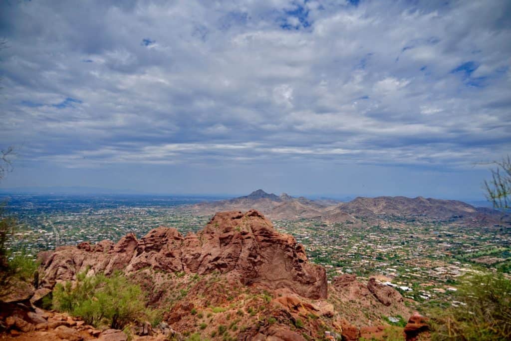
This is one of my favorite hikes in Phoenix because you can see the downtown Phoenix skyline from the trail. It takes about an hour and a half to complete this out and back trail, and if you go in the morning there is plenty of shade to keep you cool. On certain parts of the trail you can forget that you’re in a major city like Phoenix because the mountains surrounding you give off the illusion that you’re deep in the desert. It really makes you feel like you are one with nature. Make sure to stop at the stone lookout when you pass it. Not only is this stone structure super cool looking and a great place to rest, but the view of Phoenix from this pit stop is absolutely spectacular.
Beverly Canyon Trail
Distance: 2.2 miles | Difficulty: Moderate | Elevation Gain: 275 feet | Trail Type: Loop | Dog Friendly: Yes
This mostly flat hike is also on South Mountain, near Kiwanis Trail, but is an easier hike with less of an elevation gain. There is also less shade in this area of the mountain. Phoenix is known for its spectacular, multi-colored sunsets and this Beverly Canyon Trail is a great place to witness the magic, especially in the winter months. The loop connects to several other trails as well, if you’re looking to add more elevation or difficulty to your hike.

Little Known Hikes in East Phoenix
Sunrise Trail
Distance: 4.9 miles | Difficulty: Moderately-challenging | Elevation Gain: 1,128 feet | Trail Type: Point-to-point | Dog Friendly: Yes
This point-to-point trail in Paradise Valley is great for those who are up for the challenge! Considered moderately challenging, this hike takes about 2.5 hours to complete. Because it is point-to-point, you’ll want to plan to have a car on either side of the trail heads, or plan for it to take twice as long if you go out and back. The terrain here is a bit rocky, so be prepared and wear good shoes meant for less even ground.

Dixie Mine Trail
Distance: 11.1 miles | Difficulty: Moderately-challenging | Elevation Gain: 1,115 feet | Trail Type: Out-and-back | Dog Friendly: Yes
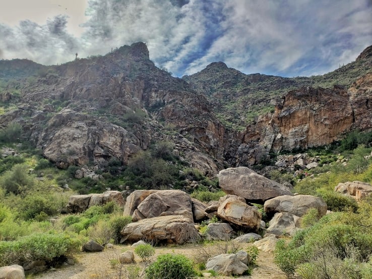
If you’re looking for a hike that makes you feel like you’re out of town, without actually leaving the Phoenix area, then Dixie Mine Trail is a great pick. Dixie Mine Trail is located in McDowell Mountain Regional Park, just outside of Scottsdale. This 11 miles out-and-back hike won’t give you great views of the city, but it will show you phenomenal views of nature. Hike in the springtime to see the desert flora blooming in its many spectacular colors.
Little Known Hikes in West Phoenix
White Tank Waterfall Trail
Distance: 1.8 miles | Difficulty: Easy | Elevation Gain: 229 feet | Trail Type: Out-and-back | Dog Friendly: Yes
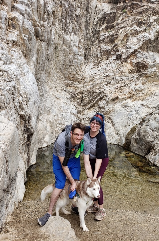
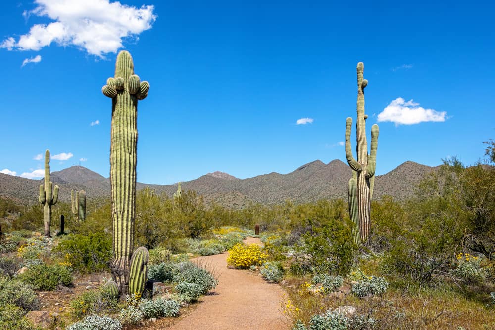
White Tank Waterfall Trail is probably the easiest hike on the list, but that doesn’t make it any less worthy. In fact, this hike is my favorite hike in Phoenix. It’s located in the White Tank Mountain Regional Park to the west of the Phoenix Valley. This is another hike that will make you feel like you’ve left Phoenix, without actually needing to leave Phoenix.
The hike is dotted with petroglyphs etched into rocks along the path. These stone carvings are leftover from the prehistoric Hohokam people who once occupied the Salt River Valley. At the end of the trail is a waterfall that either may or may not be flowing. If you visit after a storm, the waterfall is a sight to see, especially considering it is smack dab in the middle of the desert. Even if the waterfall isn’t running, it’s still cool to visit. I love to tap into my inner child and climb the rocks that make up the waterfall’s structure.
Bonus— The Most Popular Hike In Phoenix
Camelback Mountain
If you were to ask what the most popular hike in Phoenix is, hands down the answer would be Camelback Mountain. And there’s a reason why everyone recommends Camelback. This is the most well-known mountain in town. It’s practically the mascot for all of Phoenix’s mountains. It’s in central Phoenix, so it’s easy to get to no matter where you’re staying. But even if all of this wasn’t true, hiking Camelback Mountain is truly a remarkable experience.
You have a couple options when planning your hike on Camelback. You can choose to hike the entire mountain by starting on one side, climbing over the top of the hill, and coming back down on the other side. Or, you can pick one of the two main trails and hike it as an out-and-back trail.
Point-to-point via Cholla Trail and Echo Canyon
Distance: 2.4 miles | Difficulty: Hard | Elevation Gain: 1,322 feet | Trail Type: Point-to-point | Dog Friendly: No
You can hike across the mountian from Cholla Trail and Echo Canyon Trail. You can start from either side, but I recommend starting from Cholla Trail and going down on the other side via Echo Canyon because Echo Canyon contains some serious stairs that are a lot easier going down than up. If you choose to hike across Camelback like this, I recommend having two cars with one parked on either side of the mountain, because, believe me, once you get over it once, you’re not going to want to do it again to get back to your original parking area.
Out-and-back via Cholla Trail Only
Distance: 2.6 miles | Difficulty: Hard | Elevation Gain: 1,204 feet | Trail Type: Out-and-back | Dog Friendly: No
The Cholla Trail side of the mountain is typical of your average desert hike. The dirt trail is lined with desert flora and fauna. This is a great trail to spot the spinytail iguanas that inhabit the Phoenix Valley. This isn’t a flat hike. It’s rocky and steep, and there is practically no shade. But as you climb, you will get great views of Phoenix’s east side.
Out-and-back via Echo Canyon Only
Distance: 2.5 miles | Difficulty: Hard | Elevation Gain: 1,420 feet | Trail Type: Out-and-back | Dog Friendly: No
The Echo Canyon side of the mountain is basically a mountain of stairs. I’m not kidding. It’s an hour and a half of climbing up stairs embedded into the red rock of the mountain. It’s hard. It’s grueling. It is totally worth it when you get to the top and see the view. You won’t get as much desert on this hike. The majority of it is literally spent climbing the stairs against the rocks. But, once you reach the top, you will see possibly the best view of the city from anywhere in the valley.
Whether you choose to go across the mountain, or pick a trail to go out-and-back, Camelback Mountain is definitely worth the hype. Not only are the views phenomenal, but you will feel like a freaking warrior once you’ve conquered this beast.
Essential Hiking Supplies For Hikes In Phoenix
Everyone knows that Phoenix is hot. The average temperature here is 98° F in the summer and 74° F in the winter. But for some reason, not everyone takes that into consideration when they hike in the valley. Whether you are born and raised in Phoenix or are from out of town, you need to have the necessary supplies when you hike in the valley.
- Water. This is non-negotiable. Make sure you have enough water for your hike. The recommended amount is 2 cups per adult per hour. In the summer, I recommend having a bit extra since you’ll sweat a lot of it out. I personally use this hydration backpack to make sure I bring enough water on all my hikes. It fills up to 2 liters.
- Electrolytes. Speaking of sweating, if you hike in the summer you’re going to need to refuel on electrolytes since you’ll sweat a lot of them out. No electrolytes means a higher chance of heat exhaustion.
- Hiking shoes or boots with good traction. I wouldn’t recommend sandals or Chacos because they won’t protect your feet from accidentally getting stuck by a bit of stray cactus.
- A doggy bowl or water bottle if you’re hiking with your pup. They need water, too!
- Doggy shoes. These are essential if you’re hiking in hot weather. Always place the back of your hand on the ground to test the temperature before you let your dog step outside without shoes. You don’t want them to burn the little pads of their paws!
- Sunscreen, sunglasses, and a hat. These Arizona sun rays are no joke!
- Snacks! You may want a little extra energy midway through the hike. Besides, it’s always good to have a little extra food on hand!
Visiting Phoenix and need a place to stay? Check out these affordable options from Booking.com.
Did you enjoy this hiking guide? Check out some of our others here:
- 15 of the Best Peak Hikes Near Tucson, Arizona
- Amitabha Stupa and Peace Park: Hidden Treasures in Sedona
- Exploring Mount Beacon: The Ultimate Guide to Casino Trail

Booking a trip to Arizona?
Here are a few helpful services:
Booking.com | Find a comfy place to lay your head after a full day of adventuring.
Vrbo | If you’re looking for a more homey vibe, these rental homes might do the trick.
Expedia | Whether you’re looking for some wheels or a flight, you can find a way to get to your destination here.
Get Your Guide | Find local attractions and tours and book tickets to your excursions.
TSA | If you’re flying, check out the TSA page to make sure that you pack to TSA regulations.
Arizona Travel Guides:
If you’re staying in Phoenix, here’s my 5-Day Phoenix Travel Guide to help you plan your stay.
Only staying in Pheonix for a day? Check out my 24-hours in Phoenix Itinerary.
Need help figuring out what to pack? Here is my Arizona Packing List Essentials for Every Time Of Year Packing Guide.
Visiting Sedona? You might want to check out my Day Trip to Sedona Guide to help jumpstart your itinerary.
Click Here to see more from the Adventuring Dreamers Resources.